The next day on May 25th I drove over to friend Paul Beverung’s ranch in Annetta to survey his field with my drone and see how much of it was covered by water resulting from recent heavy rains. The fact that his property is bisected by the UP Baird Sub was an added bonus! After performing the drone survey confirming the entire field was under water, as I was flying back to the house we heard a horn blowing for the FM 5 highway crossing a little over a mile to the east.
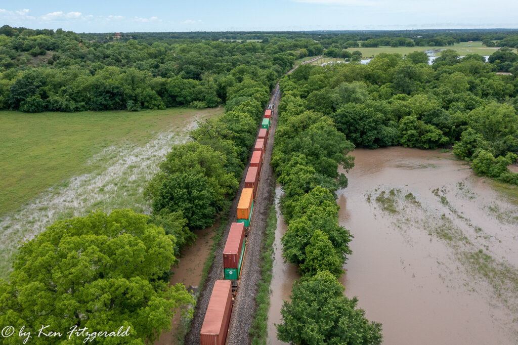
A few minutes later a westbound intermodal train showed up and I framed it with Paul’s field on the left. The floodwaters were caused by overflow from the Clear Fork of the Trinity River.
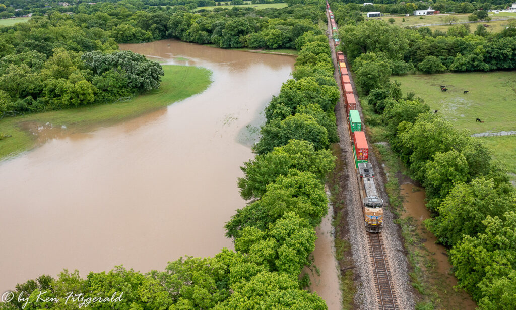
I turned the drone 180 degrees for this going away view of the train heading towards Weatherford with one unit up front.
Many containers rolled by and then a single DPU came into view with cars still stretching out of sight behind it.

I helped out a friend and captured a good train photo to boot so it was a good if not wet day.
